

Weather Webcam Lienen (Luftkurort)


Slide-Show


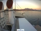.jpg "weather Webcam Luzern (Vierwaldstättersee)")
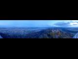.jpg "weather Webcam Uetliberg (Uetliberg)")
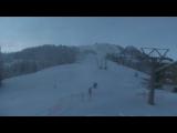.jpg "weather Webcam Zweisimmen (Bernese Oberland, Simmental, Rinderberg)")
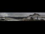.jpg "weather Webcam Axalp (Bernese Oberland, Brienzersee)")
Quick-Facts
Webcam "Weather Webcam Lienen (Luftkurort)" |
|
|---|---|
| save selected picture | |
| Location of Webcam: | Show on map |
| Webcam-Coordinates: | 52.122067 / 7.942946 |
| Altitude over sea: | 65m |
| Weather-Webcam-Motiv: | n/a |
| Newest Webcam-Picture: | 02.10.2019 15:22:02 |
| Webcam-Source: | to sourcewebsite |
Infos about Lienen |
|
| Sunrise: | 05:23 hours |
| Sunset: | 21:45 hours |
| Sights in Lienen: |
|
| Famous Waters: |
|
| Famous Mountains: | |
| Touristic Regions: | |
| Wikipedia: | Lienen |
Infos about Lienen
Weather Webcam Lienen (Luftkurort)
In Lienen, there is the Webcam Weather Lienen (Luftkurort).
Enjoy the slideshow of this weather webcam.
The webcam Lienen is regularly updated with new pictures.
Track the current weather in Lienen Luftkurort with the webcam LIENEN.
Lienen is a municipality in Tecklenburger country, between Münster and Osnabrück, Germany. Lienen is a nationally recognized resort and part of the district of Steinfurt, in North Rhine-Westphalia. To the north of the municipality of Lienen extend the bulk of the nature park Terra Vita and the Holperdorper valley. The Westerbecker mountain in the Teutoburg Forest of Lienen is 236 meters above sea level the highest point in Tecklenburger Land, the district Steinfurt and the Münsterland. Find out about the weather in our Lienen Weather Webcams!
Video
Video weather Webcam Lienen (Luftkurort)
Slideshow video of weather Webcam Lienen (Luftkurort)video created on 02.12.2014 22:28
")